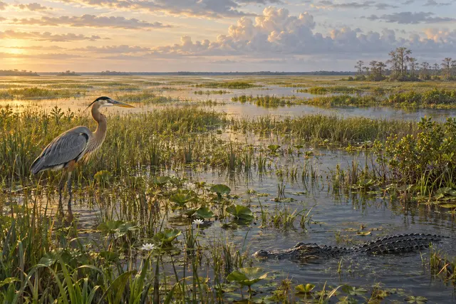
A river seems easy to recognize: two banks, a bed and water that advances between the two. The Florida Everglades are blurring this image. Part of their operation is based on a shallow, very wide and slow flow, which crosses wetlands in the middle of vegetation.
The National Park Service describes the historic system connecting the Okeechobee Lake Basin to Florida Bay. The water ran about a hundred miles south for only a few meters of elevation. Such a low slope favors this movement in tablecloth, very different from a torrent or a river embedded in a valley.
Canals, dikes and roads then profoundly changed this traffic. The famous image of a river of grass therefore indicates an ecological functioning, not a landscape remained perfectly intact. The detail changes what we think we see: the plant expanse is not simply placed next to the water. It occupies a part of the path through which the water advances.
What we know
Distinguished historical operation of the current network, transformed by the developments.
To go to the source
References consulted on September 21, 2026. Linked pages may be in another language.
Signaler une erreur ou apporter une précision