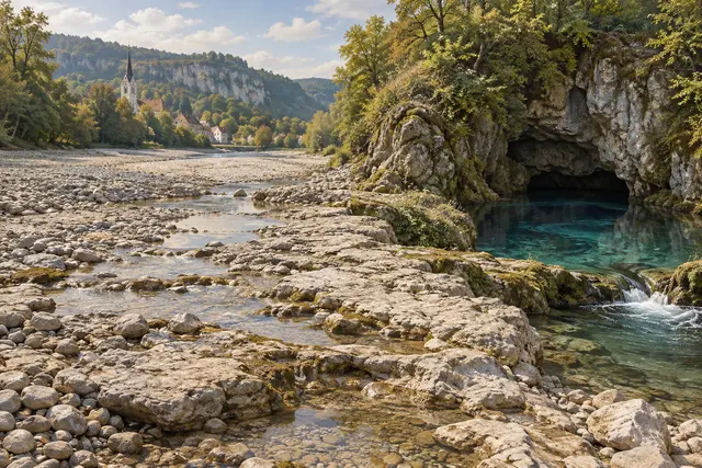
Near Immendingen, the Danube can leave a portion of its bed without visible flow. Its water seeps into a karst basement, where cracks and cavities allow circulation. The disappearance is not an instantaneous evaporation: the journey continues under the feet of those who look at the pebbles.
Some of this water reappears at the Aachtopf, a powerful source located lower down. The link, long suspected, was demonstrated by tracing as early as 1877 and confirmed by other experiments. The river Aach then joins Lake Constance, in the Rhine basin: the same water has changed its river network.
The magnitude of the losses varies depending on hydrological conditions and sectors. Not all of the Danube disappears permanently, and the underground network is not just a single pipe. A surface map shows the river; to really follow its water, you sometimes have to imagine a second map in depth.
What we know
Variable and local losses; the river subsists downstream.
To go to the source
References consulted on September 21, 2026. Linked pages may be in another language.
Signaler une erreur ou apporter une précision