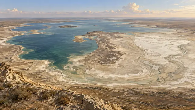
In a satellite image taken in August 2014, a portion previously occupied by water appears dry. It is the eastern basin of the southern Aral Sea. The change is spectacular, but the story begins long before photography: the contributions of the great rivers have been massively diverted to irrigate agricultural land.
As the lake recedes, it fragments. A northern part separates from a southern part, itself divided. The comparison published by NASA shows the evolution between 2000 and 2014. Variations in rain, snow and flow then accentuate or mitigate changes from one year to the next.
To say that the entire Aral Sea has disappeared would be wrong. The observation concerns a basin and a date; other sectors remain and levels fluctuate. This is precisely the interest of the series of images: they make it possible to follow a complex transformation, where an isolated photograph could suggest a unique and definitive state.
What we know
Southern eastern basin in 2014; not total disappearance of the lake.
To go to the source
References consulted on September 21, 2026. Linked pages may be in another language.
Signaler une erreur ou apporter une précision