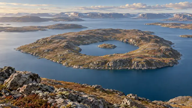
Let’s start with a small nameless island, just over three hundred meters west to east. It is in a lake. So far, nothing very confusing. But this lake is itself located on an island, located in another lake on Victoria Island, in the Canadian Arctic.
An image of Landsat published by NASA allows to follow this interlocking. It is necessary to change the scale several times: what serves as a container becomes in turn a piece contained in a larger set.
The temptation would be to make it a definitive record. However, the source points out that other configurations could compete with it. This landscape offers better than a fragile superlative: a card-reading experience. The word “island” does not necessarily mean an end of the journey; it can announce the beginning of the next question.
What we know
The configuration is documented by a 2014 image. No current world record or lack of indigenous local names are asserted.
To go to the source
References consulted on September 20, 2026. Linked pages may be in another language.
Signaler une erreur ou apporter une précision