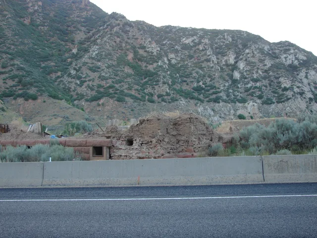
In the spring of 1983, after heavy rainfall and the melting of a thick snowpack, an ancient landslide began to move again near Thistle, Utah. The mass progresses towards the Spanish Fork River. In a few days, it blocks the course and transforms the valley into a reservoir.
The lake that forms behind this natural dam floods Thistle. Roads and railways were interrupted. The Utah Geological Survey indicates that the water reaches a maximum depth of about 49 meters before being evacuated by diversion works. A railway tunnel then makes it possible to bypass the sliding zone.
The obstruction of a river had produced a lake instead of buildings. The mountain had changed the drainage of the valley; the infrastructure had to change places.
What we know
Approximately 49 meters corresponds to the conversion of the 160 metres maximum depth cited by the UGS.
To go to the source
References accessed October 11, 2026. Linked pages may be in another language.
Signaler une erreur ou apporter une précision