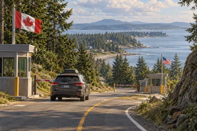
On a map, the forty-ninth parallel seems to offer a simple border. But at the level of the Tsawwassen Peninsula, it leaves a small portion of land south of the line: Point Roberts, American territory attached to the State of Washington.
To reach this place by road from the rest of this state, you have to pass through Canada, then cross a border again to return to the United States. The continuity of bitumen does not follow that of national belonging. NASA shows this singularity from satellite images.
It is not an island: the land continues north, on the Canadian side. It is precisely this detail that makes the situation amazing. A territory can be close, visible on the same peninsula, and yet impose an international trip on someone who simply wants to stay in his country.
What we know
The double crossing concerns the road route from the rest of Washington. This leaflet does not describe the current travel formalities.
To go to the source
References consulted on September 20, 2026. Linked pages may be in another language.
Signaler une erreur ou apporter une précision