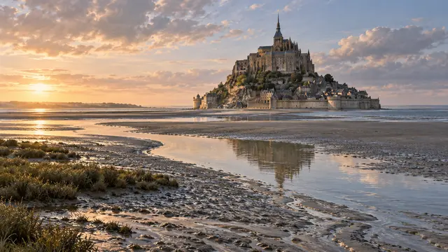
Around Mont-Saint-Michel, the landscape does not always retain the same contours. Spaces discovered at low tide are covered when the sea returns. During certain high tides, the mountain regains a particularly visible insular character.
The Mont-Saint-Michel public establishment describes this return of water and publishes tidal information. The phenomenon depends on precise times and conditions: it is not enough to look at a photograph of the place to know what the bay will look like a few hours later.
One could say, to attract attention, that the earth “disappears”. It is above all the surface areas that change, without the territory of a country expanding and shrinking automatically with each cycle. The same view offers several successive landscapes. A boundary between water and soil can be perfectly real while being impossible to fix on a single image.
What we know
Variation of the discovered areas, no automatic variation of the legal area of a state; no crossing route of the bay.
To go to the source
References consulted on September 21, 2026. Linked pages may be in another language.
Signaler une erreur ou apporter une précision