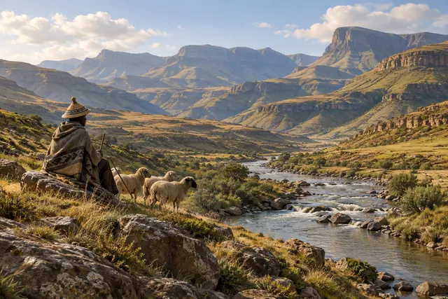
We often recognize a mountainous country at its summits. In Lesotho, it is revealing to look for the lowest point: one remains almost 1,400 meters above sea level. The national floor is already very high.
The tourist office places this point near the meeting of Senqu and Makhaleng, in Morifi, and indicates 1,389 meters. The national climate report gives 1,388 meters. This small difference invites us to keep an approximate value rather than blindly repeating a round number. The summit of Thabana Ntlenyana reaches 3,482 meters in these sources.
The contrast obviously does not mean that each valley looks like a steep high mountain. Absolute altitude and the impression of relief are two different things. The geographical surprise is simpler: here, a place can be considered low in the national landscape while being well above a thousand meters on an altimeter.
What we know
Approximate minimum; distinguish absolute altitude from relief.
To go to the source
- Lesotho Tourism Development Corporation — 3 Ranges Trail (new tab)↗
- Gouvernement du Lesotho — Third National Communication, p. 37 (new tab)↗
References consulted on September 21, 2026. Linked pages may be in another language.
Signaler une erreur ou apporter une précision