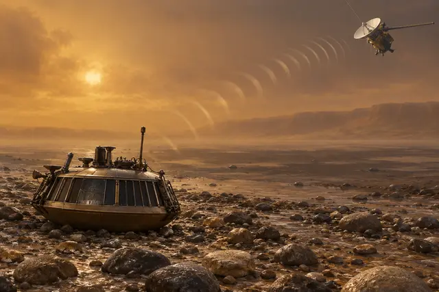
After arriving on Titan, Huygens relays his information to Cassini. The researchers noticed a repeated variation in the radio power received. The irregularity might seem embarrassing. On the contrary, it becomes a track to study the terrain near the lander.
One part of the signal reaches Cassini directly; another is reflected on the ground. Their combination changes as the geometry between the two machines evolves. By replicating these variations with models, an ESA team deduces a relatively flat terrain, largely covered with stones of about five to ten centimeters.
The result, presented in 2006, completes the images taken in another direction by Huygens’ camera. It is not a radio photograph of each stone: the dimensions are inferred from the signal behavior. The equipment intended to tell the mission also told the ground. A fluctuation in communication had kept the imprint of the landscape crossed by the waves.
What we know
Size deduced from a reflection model; no detailed image or direct measurement of each stone.
To go to the source
References consulted on September 21, 2026. Linked pages may be in another language.
Signaler une erreur ou apporter une précision